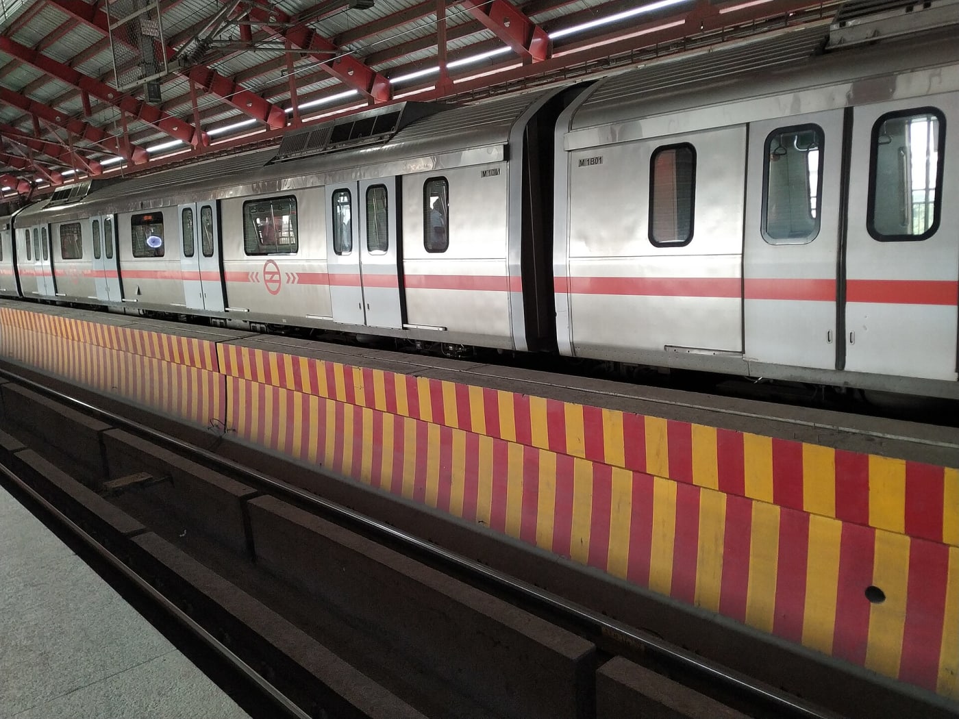
India's transformation since 2014 is easier to see than to describe. India Unfolding gathers it in one place — sector by sector, year by year.
What you'll find
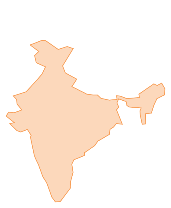
- Animated maps of expressways and railways
- Counters for airports, UPI, metro and more
- Clickable facts on individual corridors and routes
- Bilingual pages in English and हिन्दी
Where the data comes from
Every figure is drawn from public sources — the Union Budget, MoRTH, the Ministry of Railways, NPCI, ISRO and others — and cited on each page. It's a data project, not a political one: the numbers are laid out plainly for you to explore and draw your own conclusions.
Watch this space
We'll keep adding sectors, deeper analysis, and — where useful — photos and video. To embed a clip in an article, paste a YouTube or Vimeo link on its own line.
Explore the sectors from the homepage to begin.